Reference project
Reference: 3D Drone Survey
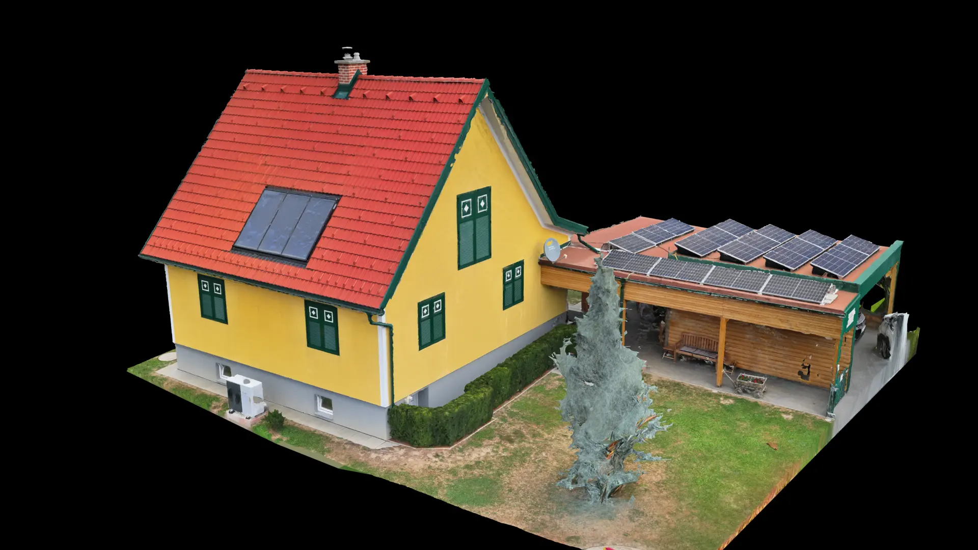
Complete 3D model from a drone survey with RTK precision and photogrammetric evaluation.
Project description
A complete 3D model was created from a drone survey using RTK positioning on the DJI Matrice 4TD and photogrammetric processing. The detailed centimetre-accurate model can be used directly for planning, documentation and CAD/GIS systems.
- Location: Styria
- Drone: DJI Matrice 4TD with RTK
- Evaluation: photogrammetry / RealityScan
- Result: 3D model, orthophoto, terrain model
Interactive 3D model
Loading 3D model …
The 3D model could not be loaded.Download 3D model