Drone-based surveying delivers precise geodata in a fraction of the time required by conventional methods. With RTK positioning on the DJI Matrice 4TD, we achieve centimetre-level positional accuracy. Flight data is processed into detailed 3D models, georeferenced orthophotos and digital terrain models that can be imported directly into CAD and GIS systems.
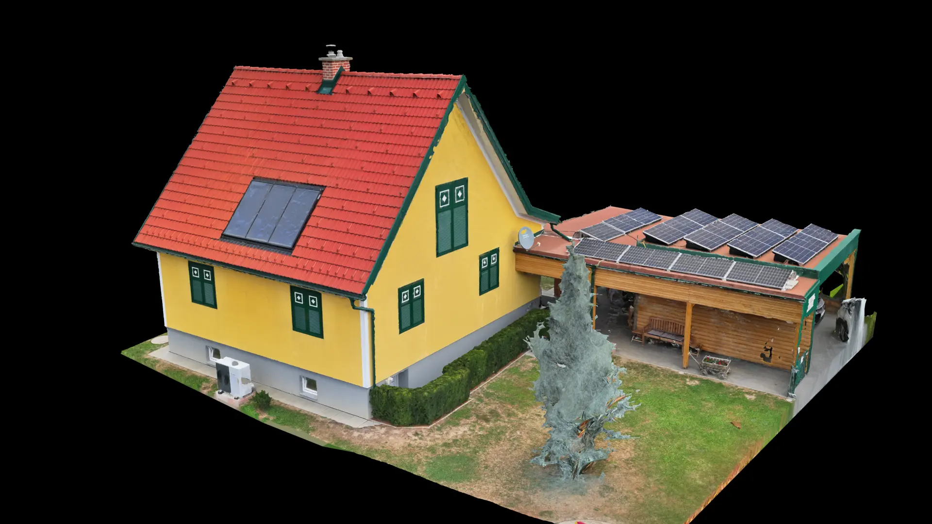
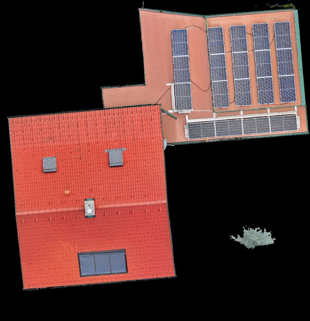
A key service is drone-based roof measurement. We capture the complete roof area from the air and provide a true-to-scale orthophoto plus a full measurement of all relevant lengths and surfaces. Nobody needs to climb onto the roof. This is an ideal basis for roofers, sheet-metal contractors and PV system planning.
We also use these models for construction progress records, façade capture, volume calculations and true-to-scale building representations for planning and presentation. Repeated flights can document agricultural land and visible changes over time.
Your benefits
- Centimetre-accurate RTK surveying provides a reliable planning basis without expensive remeasurement
- Detailed 3D models and aerial maps improve planning, costing and presentation
- Measure and document wildlife damage accurately as a fair basis for compensation
- Record construction progress continuously and provide transparency for all parties
- Georeferenced orthophotos, 3D models and point clouds compatible with common GIS and CAD software
Applications
Wildlife damage surveying · Aerial mapping & 3D models · Construction-site documentation · RTK surveying
How it works
- 01Consultation & definition of survey objective
- 02Flight planning with RTK reference points
- 03Drone flight & data capture
- 04Processing & delivery as 3D model, orthophoto or DTM
Suitable for
Construction companies · Architects · Property developers · Municipalities · Farmers · Engineering firms
Accurate data saves time, money and disputes. We provide the facts from an aerial perspective.